
State: New York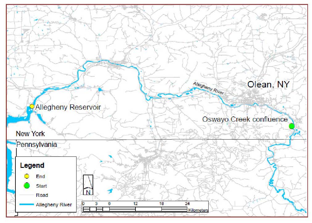
County: Cattaraus
Water Bodies Affected: Allegheny River, Ohio River
This project will use side scan sonar technology to create a GIS layer map containing defined instream meso-habitats from 68 km of the Allegheny River in NY. Sonar data recording will commence during spring to coincide with high flow conditions, and validation will occur during low water conditions. The final map will serve as an invaluable tool for resource managers to identify and quantify habitat types suitable for a variety of aquatic species and to guide future restoration activities.
The Allegheny River is a large tributary to the Ohio River, and home to many fish, mussel, and many other aquatic species, which include the endangered northern riffleshell, Gilt darter, paddlefish, and recreationally important brook and brown trout. Over 4,000 miles of lotic systems drain into the Allegheny Basin with 57% of the basin draining directly into the eastern New York’s portion of the Allegheny River. Because geomorphic processes upstream in the Allegheny Basin Watershed can directly influence benthic habitat features within the Allegheny River, the results from this project can serve as an initial reference for monitoring the river’s fluvial dynamics.
This project will produce a benthic habitat map to be made available to resource managers which characterizes the underwater habitat features of 68 km of the upper Allegheny River, NY. Information can be used to identify mussel beds, favorable spawning areas for a variety of aquatic species, and enable long term monitoring of in-water habitat. Mapping of the project site will occur during high flow and safe conditions using a boat-mounted side scan sonar unit. Benthic verification will occur during low flow conditions using underwater photography and benthic sampling. Sonar data will be transformed and edited to create landscape scale map using ArcGIS, including photographic references.